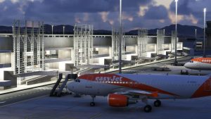
Costruire il PC Perfetto per i Simulatori di Volo: Guida alle Migliori Configurazioni Hardware
I simulatori di volo come Microsoft Flight Simulator, X-Plane e Prepar3D richiedono prestazioni elevate per offrire un’esperienza immersiva e realistica. Se sei un appassionato di volo...

ButtKicker Mini LFE: Vibra sulla tua poltrona!
Se vuoi portare la tua esperienza audio e gaming a un livello superiore, il ButtKicker Mini LFE è il dispositivo...

Thrustmaster Hotas Warthog: L’Offerta Sta per Scadere! Approfittane Ora!
Sei un appassionato di simulatori di volo? Allora non puoi lasciarti sfuggire questa incredibile offerta sul Thrustmaster Hotas Warthog, il...

Duello tra Joystick: Turtle Beach VelocityOne Flightstick vs. Thrustmaster T.16000M FCS Space Sim Duo
Per gli appassionati di simulatori di volo e videogiochi spaziali, la scelta del joystick giusto può fare la differenza tra...

Afonso Pena (SBCT) di Flyt disponibile per MSFS
L’aeroporto Afonso Pena (SBCT) di flyt debutta su Microsoft Flight Simulator Un nuovo sviluppatore, *flyt*, ha rilasciato l’aeroporto Afonso Pena (SBCT) per Microsoft Flight Simulator

Cessna Citation CJ3+ di LivToAir debutta su MSFS 2020 & 2024
Il Cessna Citation CJ3+ di LivToAir è ora disponibile per Microsoft Flight Simulator 2020 & 2024, rappresentando il progetto più ambizioso finora sviluppato dallo studio.
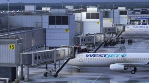
Gatwick (EGKK) di iniBuilds in arrivo su MSFS 2024
L’aeroporto di Gatwick (EGKK) di iniBuilds sta per arrivare su Microsoft Flight Simulator 2024. Un recente annuncio da iniBuilds conferma che lo scenario è quasi
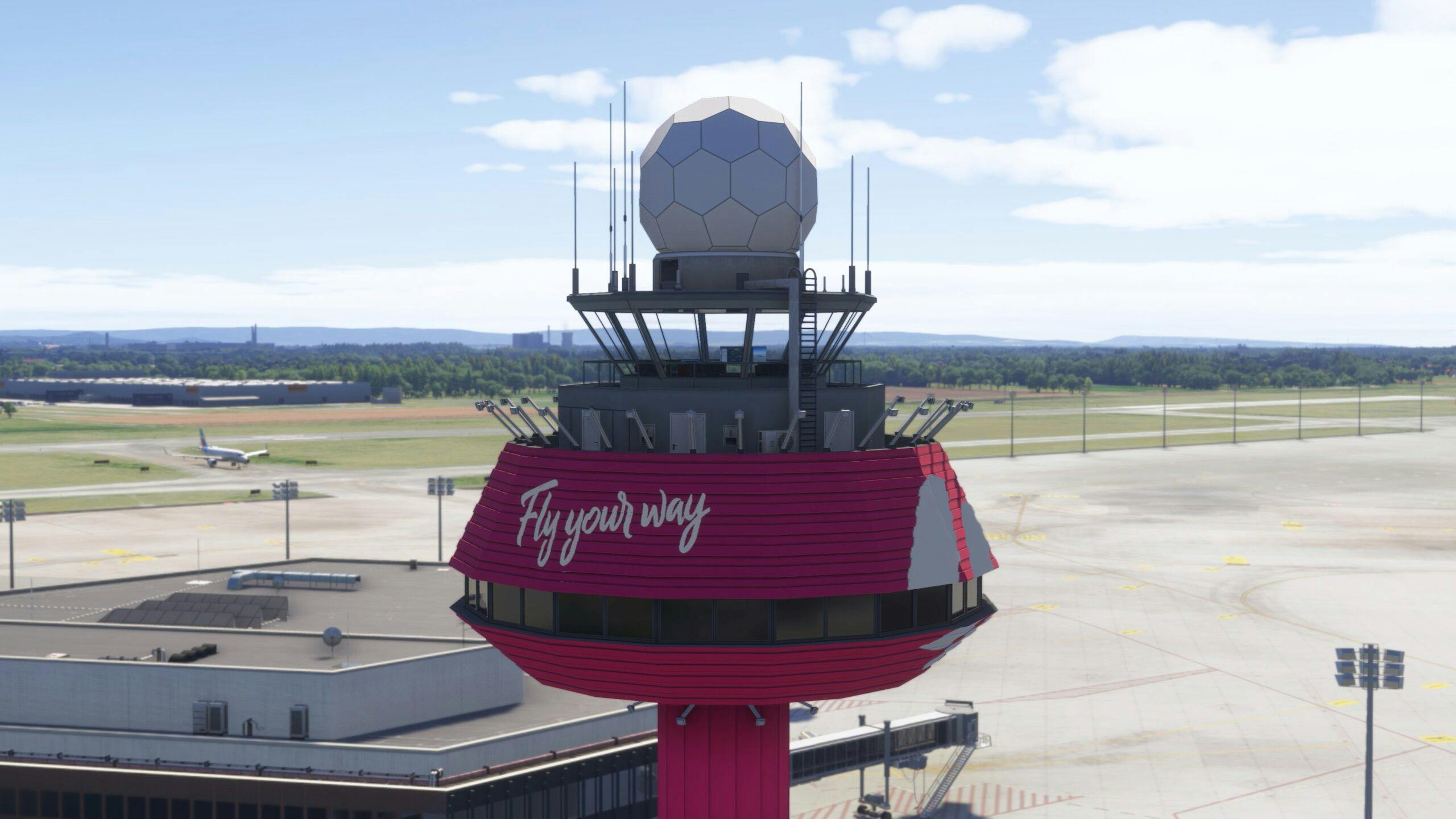
Hannover Airport di SoFly: Imminente Rilascio per MSFS 2020 e 2024
L’aeroporto di Hannover (EDDV) sta per arrivare su Microsoft Flight Simulator 2020 e Microsoft Flight Simulator 2024 grazie a SoFly. Il lancio è previsto per

X-Codr Designs porta la California settentrionale su X-Plane 12 con KBLU e A30
X-Codr Designs espande il suo portfolio per X-Plane 12 con l’aggiunta di due nuovi aeroporti situati nella California settentrionale: Blue Canyon Nyack Airport (KBLU) e
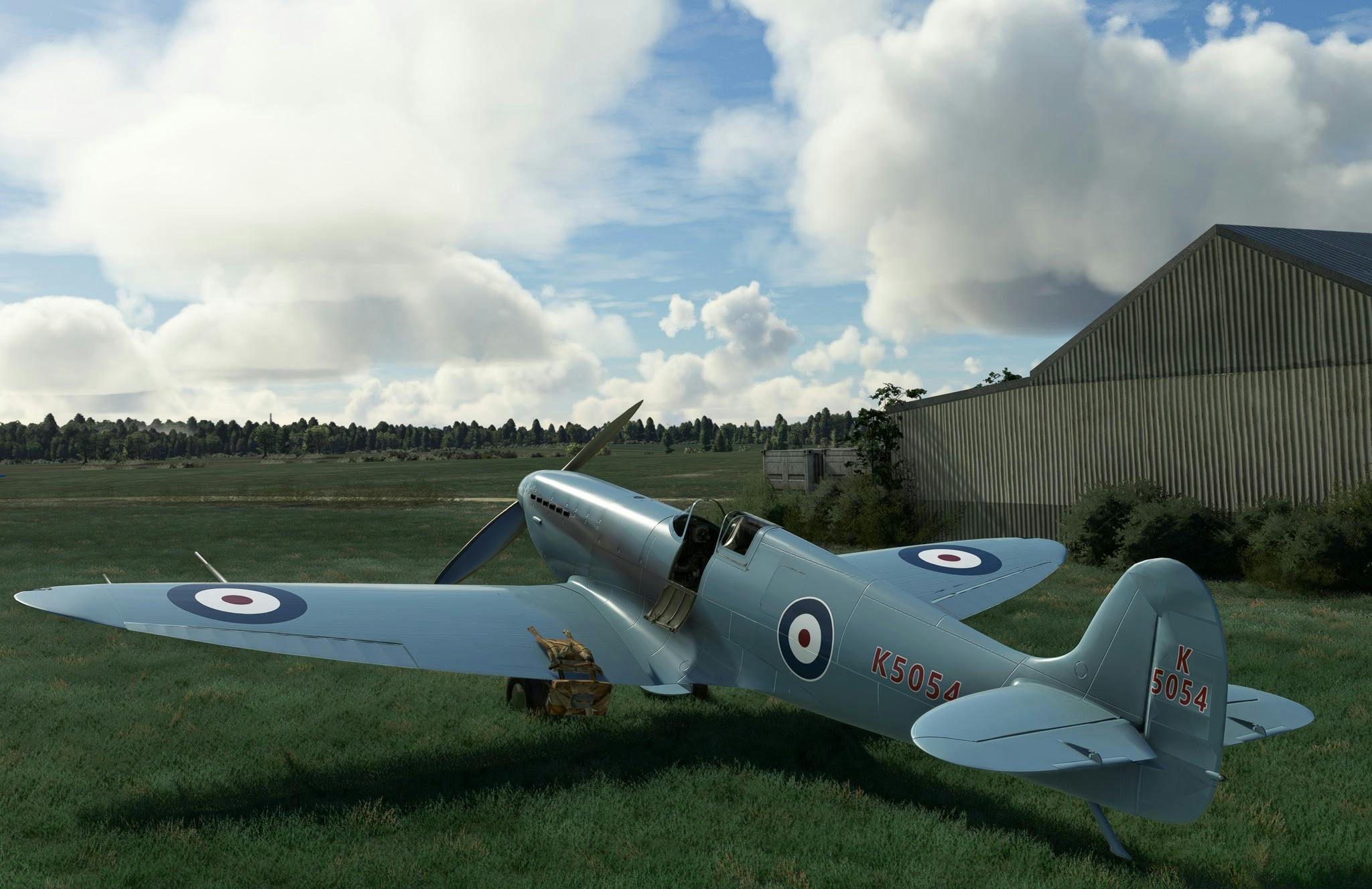
Aeroplane Heaven annuncia “Spitfire – The Early Years” per MSFS
Aeroplane Heaven si prepara a rilasciare un nuovo add-on per Microsoft Flight Simulator 2020, compatibile anche con Microsoft Flight Simulator 2024: Spitfire – The Early

Dallas Love Field arriva su X-Plane 12
L’aeroporto di Dallas Love Field (KDAL) sta per debuttare in X-Plane 12 grazie alla collaborazione tra iBlueYonder, StableSystem e joshomoore, quest’ultimo incaricato del porting dalla

X-Codr Designs: Nuovi Scenari per X-Plane 12, KBLU e A30
X-Codr Designs amplia il panorama di X-Plane 12 con due nuovi scenari: Blue Canyon Nyack (KBLU) e Scott Valley (A30), entrambi situati in California ma

Seattle-Tacoma KSEA di MK Studios disponibile per MSFS
MK Studios ha annunciato su Facebook il rilascio della loro riproduzione dell’aeroporto internazionale di Seattle-Tacoma (KSEA) per Microsoft Flight Simulator. Questo scenario era stato anticipato
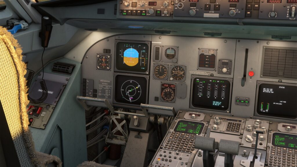
Fokker 70/100 di Just Flight entra in Beta per MSFS
Just Flight, rinomato sviluppatore noto per successi come l’RJ Professional per MSFS, ha recentemente aggiornato i propri canali social sullo stato di avanzamento dello sviluppo
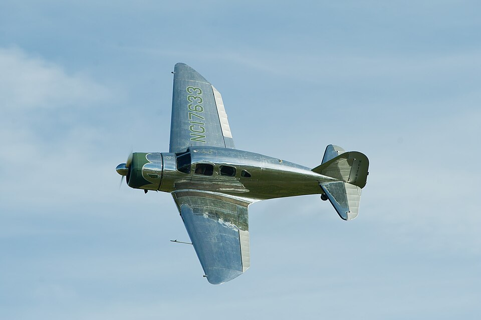
iniBuilds lancia lo Spartan 7W Executive per Microsoft Flight Simulator
iniBuilds lancia il suo ultimo aeromobile per Microsoft Flight Simulator 2020 e 2024: lo Spartan 7W Executive. Questo progetto ha visto la collaborazione con Echo
Nuova livrea Lao Airlines per Airbus A320 Project Airbus
Un nuovo schema di verniciatura per l’Airbus A320-214 di Project Airbus, con la registrazione RDLP-34188, è ora disponibile per gli appassionati di simulazione aerea. La
Airbus A320: Livrea South African Airways per Project Airbus
Aggiungi un tocco di Sudafrica al tuo simulatore di volo con la livrea Voyager Miles per l’Airbus A320-232 di Project Airbus. Questa texture, realizzata da

Gloster Reaper F.9/37: Vola sul Classico Caccia Britannico in CFS2 e FS9
Gloster Reaper F.9/37: Un Classico del Volo Militare Rivive in CFS2 e FS9 Il Gloster Reaper F.9/37, progettato sotto la guida di W.G. Carter, rappresenta

Nuove Livree per l’Osprey Virtavia/Alphasim in FS9 e FSX
Disponibili nuove livree per il Virtavia/Alphasim V-22 Osprey a pagamento, che ampliano le possibilità di personalizzazione di questo convertiplano iconico all’interno dei simulatori di volo
A380 French Bee: Nuova livrea fittizia per FSX/FS2004
Un nuovo Airbus A380-800 con livrea fittizia French Bee è ora disponibile per il download per gli utenti di FSX e FS2004. L’aereo, creato da
Nuova livrea M-YULI per Airbus A319 Project Airbus
L’Airbus A319-115ACJ con registrazione M-YULI è ora disponibile con una nuova livrea creata da Rye Kristian Bunao per FSX: Steam Edition e FS2004. Questa texture,

Messico Anni ’50 e ’60 Rivive in FS2004
Rivivi l’Aviazione Messicana degli Anni ’50 e ’60 in FS2004 con questa Scenografia Dettagliata. Questa scenografia ricrea la maggior parte degli aeroporti attivi in Messico

Nuove livree sovietiche per il MiG-21bis in simulazione
Il GKS MiG-21bis si arricchisce di nuove livree ispirate alle ex Repubbliche Sovietiche. Gli appassionati di simulazione aerea potranno quindi personalizzare il proprio velivolo con

AJet Airbus A321-231 TC-GPB: Nuova Livrea per FS2004 e FSX
L’Airbus A321-231 di AJet, marche TC-GPB, rivive in simulazione grazie ad una nuova livrea realizzata per il modello di Project Airbus. Questa riproduzione digitale, compatibile

Corendon Airways celebra Hull City su Boeing 737-800 (9H-CXG) per FSX/P3D
Il Boeing 737-800, immatricolato 9H-CXG, è entrato in servizio originariamente con Thomson Airways nel 2011 con la registrazione G-FDZW. Successivamente, ha operato per alcuni anni

Condividi i Tuoi Ricordi di Volo e Vinci con FSElite!
FSElite invita la comunità di simulatori di volo a condividere i propri ricordi più cari degli ultimi dieci anni, offrendo l’opportunità di vincere una copia
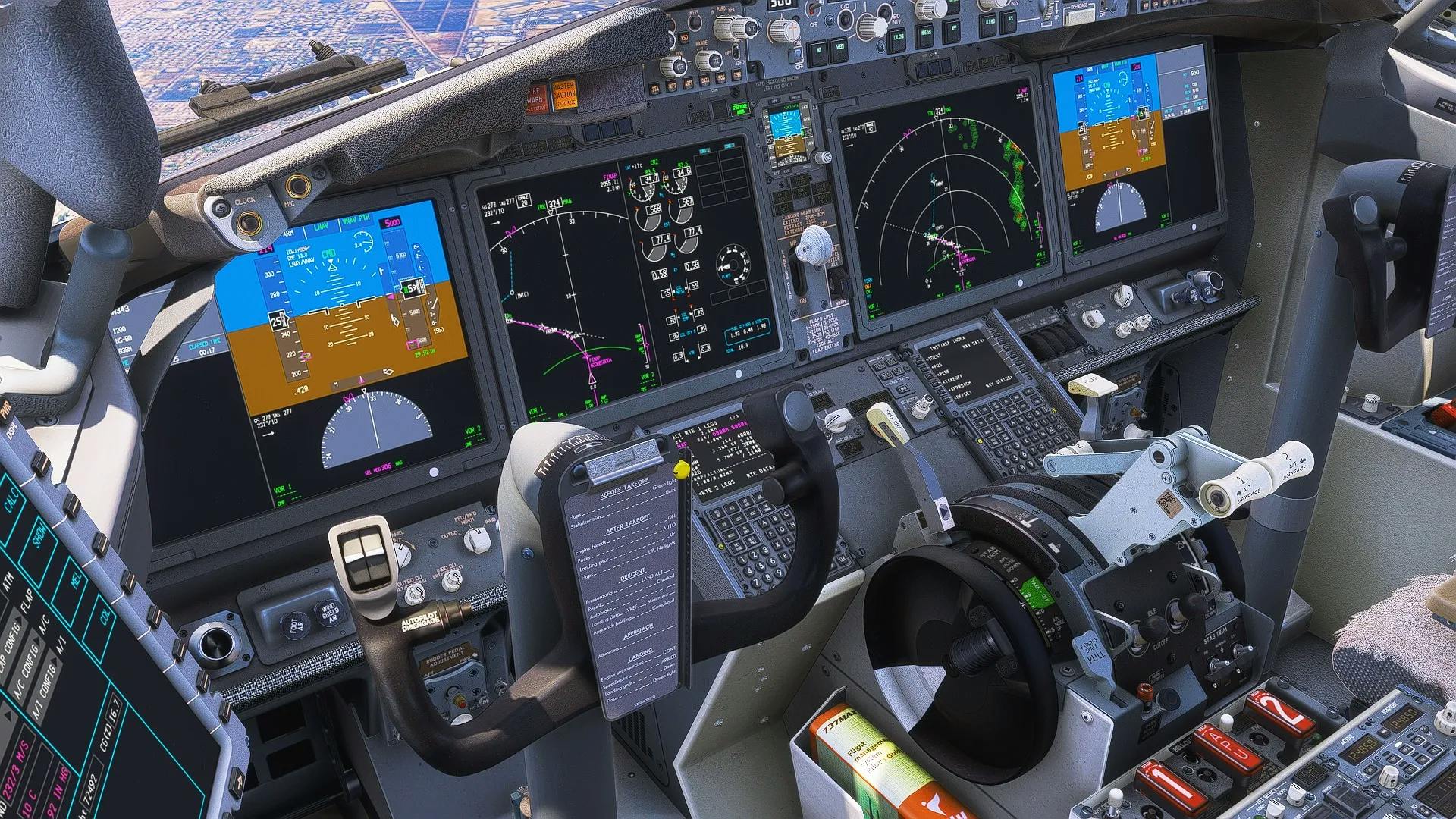
iFly mostra il 737 MAX8 in arrivo su Microsoft Flight Simulator 2024
Il team di iFly ha condiviso nuove immagini in anteprima del loro 737 MAX8 in fase di sviluppo per Microsoft Flight Simulator 2024. Le immagini

iniBuilds lancia lo Spartan 7W Executive per MSFS
iniBuilds lancia un nuovo velivolo per gli appassionati di simulazione aerea: lo Spartan 7W Executive. Questo aereo di lusso monomotore, nato nel 1936, era molto

Dallas Love Field di iBlueYonder in arrivo su X-Plane 12
iBlueYonder porterà l’aeroporto di Dallas Love Field (KDAL) su X-Plane 12. Lo sviluppo, nato dalla collaborazione con StableSystem e Joshomoore, è in fase avanzata e

T-6A Texan II “Dirty 30” di Blackbird Simulations disponibile in Alpha per MSFS “`
“`text Blackbird Simulations ha rilasciato il T-6A Texan II, soprannominato “Dirty 30”, per Microsoft Flight Simulator, offrendo una riproduzione ad alta fedeltà di questo addestratore

PMDG lancia il 777-200ER per MSFS 2020 e 2024!
PMDG ha rilasciato il Boeing 777-200ER per Microsoft Flight Simulator 2020 e Microsoft Flight Simulator 2024. Introdotto alla fine degli anni ’90 come evoluzione del
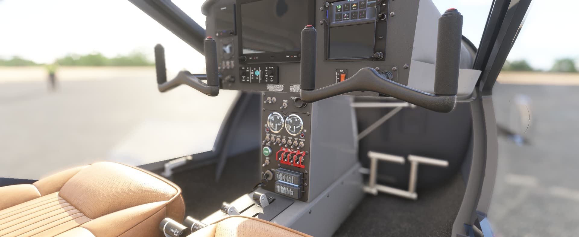
Got Friends: Aggiornamenti su A-32 Vixxen e AS33Me in MSFS
Got Friends, noti per la loro variegata offerta di add-on per Microsoft Flight Simulator, hanno recentemente fornito aggiornamenti su due progetti molto attesi: l’Aeroprakt A-32

MK Studios lancia Seattle-Tacoma (KSEA) per MSFS 2020/2024
MK Studios presenta il suo nuovo scenario: l’aeroporto di Seattle-Tacoma (KSEA) per Microsoft Flight Simulator 2020 e Microsoft Flight Simulator 2024. Situato a soli 20

FlightSimExpo 2025: Un Vero Super Patriot Affianca la Simulazione MSFS
FlightSimExpo 2025, in programma a Providence, Rhode Island, si preannuncia un evento imperdibile per gli appassionati di simulazione aerea. Per la prima volta, i visitatori
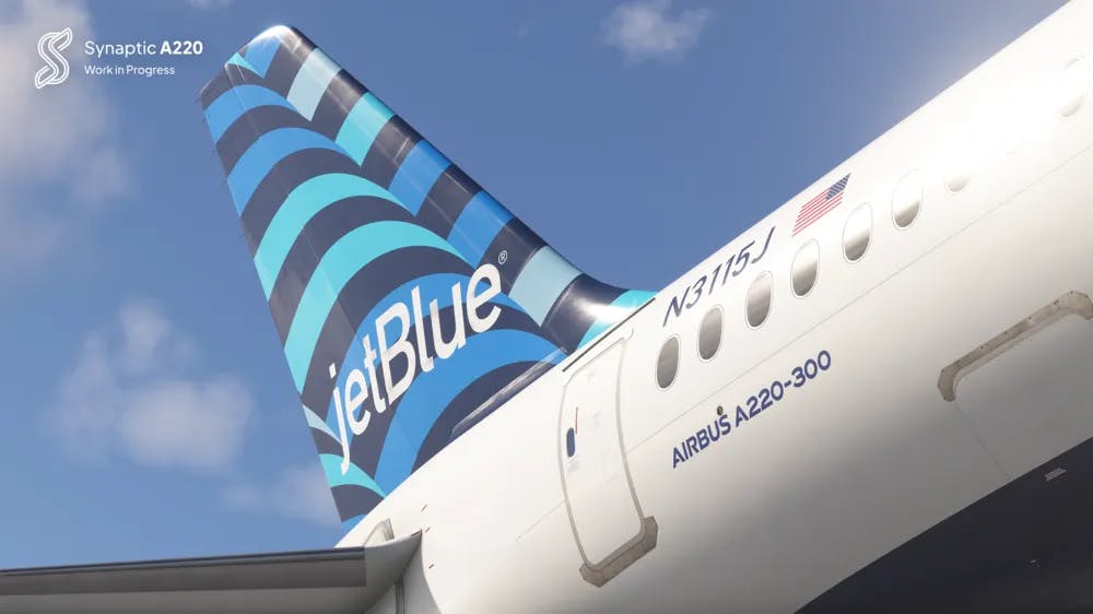
Synaptic A220: Aggiornamenti e Dettagli di Sviluppo per MSFS
Synaptic Simulations ha rilasciato un aggiornamento dettagliato sul suo progetto A220 per Microsoft Flight Simulator, frutto di una stretta collaborazione con iniBuilds. L’obiettivo è portare
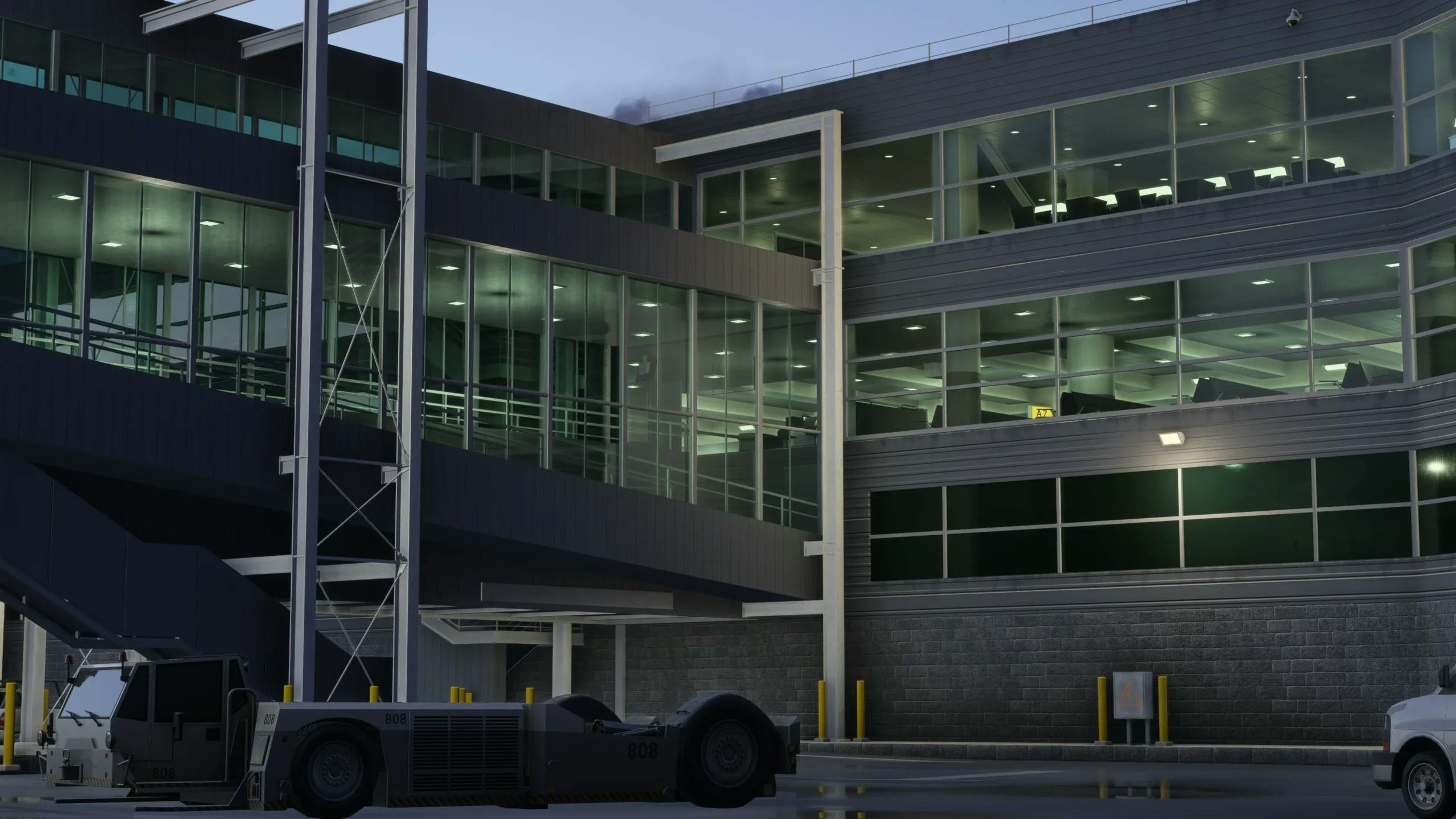
iniBuilds Rivoluziona JFK per MSFS 2024
iniBuilds lancia l’edizione migliorata dell’aeroporto John F. Kennedy di New York (KJFK) per Microsoft Flight Simulator 2024, portando l’esperienza di simulazione di volo a un

Microsoft Flight Simulator 2024: Nuovo Aggiornamento Beta con Fix e Ottimizzazioni
Microsoft ha rilasciato un nuovo aggiornamento beta, versione 1.4.16.0, per Microsoft Flight Simulator 2024, accessibile ai partecipanti al testing pubblico a partire dal mese scorso.
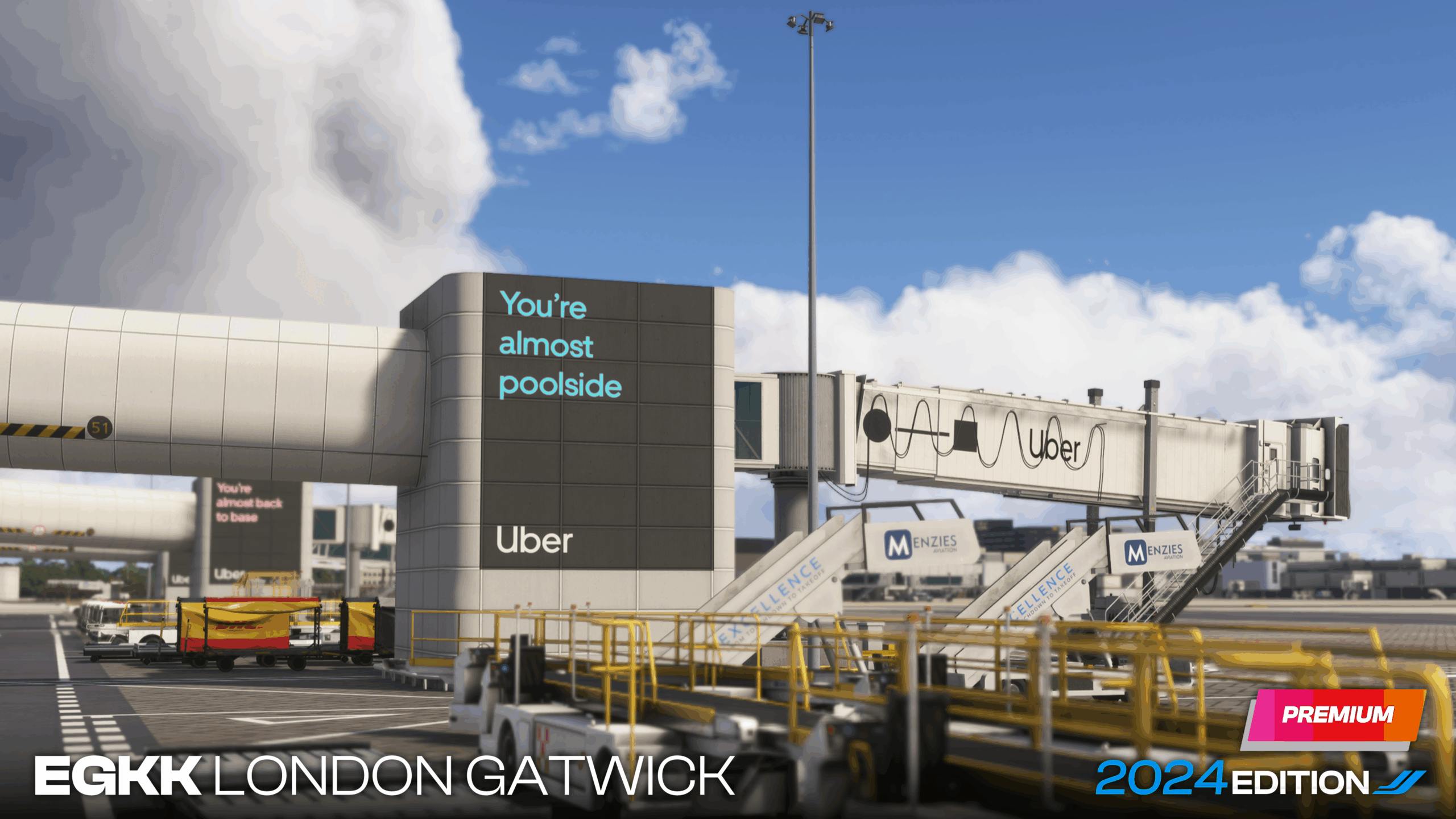
Anteprima di Gatwick (EGKK) per MSFS 2024 da iniBuilds
IniBuilds ha condiviso nuovi dettagli e anteprime sul loro prossimo aeroporto di Gatwick (EGKK) per Microsoft Flight Simulator 2024. Dopo aver annunciato il progetto a

iniBuilds porta l’aeroporto di Doha-Hamad su MSFS 2024
iniBuilds sta sviluppando l’aeroporto internazionale di Doha-Hamad (OTHH) per Microsoft Flight Simulator 2024, promettendo un prodotto di alta qualità. L’aeroporto, situato nella capitale del Qatar

Cli4D Designs porta Kinsarvik in Microsoft Flight Simulator
Cli4D Designs ha rilasciato lo scenario di Kinsarvik, in Norvegia, per Microsoft Flight Simulator 2020. Questo nuovo prodotto si concentra sull’eliporto di Vetlemoen, base operativa
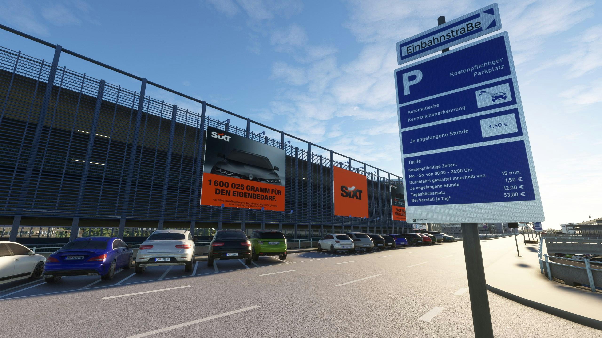
SoFly: l’aeroporto di Hannover in Beta e nuovo programma di trasferimento aeroporti
L’aeroporto di Hannover di SoFly entra nella fase beta, promettendo un’esperienza immersiva per i piloti virtuali. Dopo l’annuncio all’FSWeekend del mese scorso, SoFly ha confermato

VA Systems rivoluziona MSFS con il nuovo pannello in-game
VA Systems lancia il pannello in-game per Microsoft Flight Simulator, un’interfaccia innovativa che promette di rivoluzionare l’esperienza di volo simulata. Dopo mesi di anticipazioni, il

PMDG 777-200ER: primi video e data di rilascio prevista
PMDG ha annunciato che la release del tanto atteso 777-200ER per Microsoft Flight Simulator 2020/2024 è imminente, permettendo a selezionati content creator di condividere le

Circle B Ranch di Parallel 42 debutta su MSFS 2024
Parallel 42 ha aggiornato Circle B Ranch (WY32) per Microsoft Flight Simulator 2024. Basato su una località reale a Cokeville, Wyoming, USA, Circle B Ranch
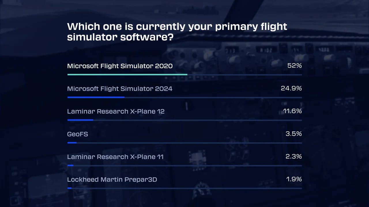
Sondaggio Navigraph: MSFS 2020 Leader, Fenix A320 Add-on Preferito, NVIDIA Domina le GPU
Navigraph ha pubblicato i risultati del suo annuale sondaggio sulla simulazione aerea, offrendo uno spaccato interessante sulle tendenze e le preferenze degli appassionati. MSFS 2020

Aggiornamento Boeing 727 di FlightSim Studio: compatibilità MSFS 2024 e correzioni
FlightSim Studio rilascia l’aggiornamento v1.0.9+patch1 per le sue versioni Boeing 727-200 Freighter e Passenger per Microsoft Flight Simulator. L’aggiornamento include correzioni specifiche e introduce la

Microsoft Flight Simulator: City Update 10 dedicato agli Stati Uniti
Microsoft ha rilasciato un nuovo City Update, il numero 10, dedicato agli Stati Uniti per Microsoft Flight Simulator 2020 e Microsoft Flight Simulator 2024. Questo

PMDG 777-200ER: Data di Rilascio Definitiva e Roadmap MSFS 2024
PMDG ha fornito aggiornamenti significativi riguardo alla data di rilascio prevista per il Boeing 777-200ER su Microsoft Flight Simulator 2020 e MSFS 2024 tramite un
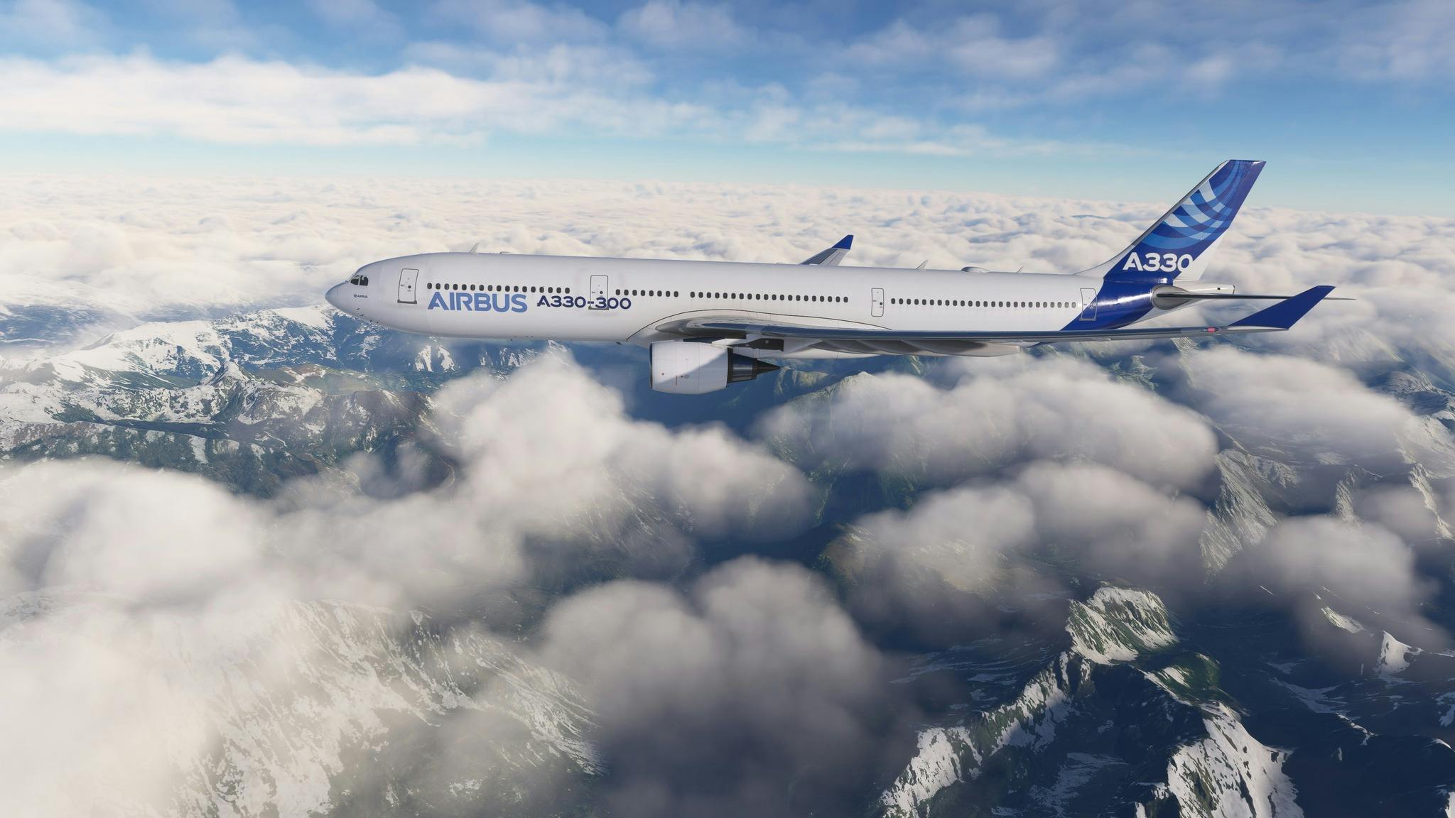
LatinVFR lancia l’A330-300 per Microsoft Flight Simulator 2020
L’Airbus A330-300 di LatinVFR è ora disponibile per Microsoft Flight Simulator 2020, offrendo agli appassionati un’esperienza di volo realistica con questo aereo di linea widebody
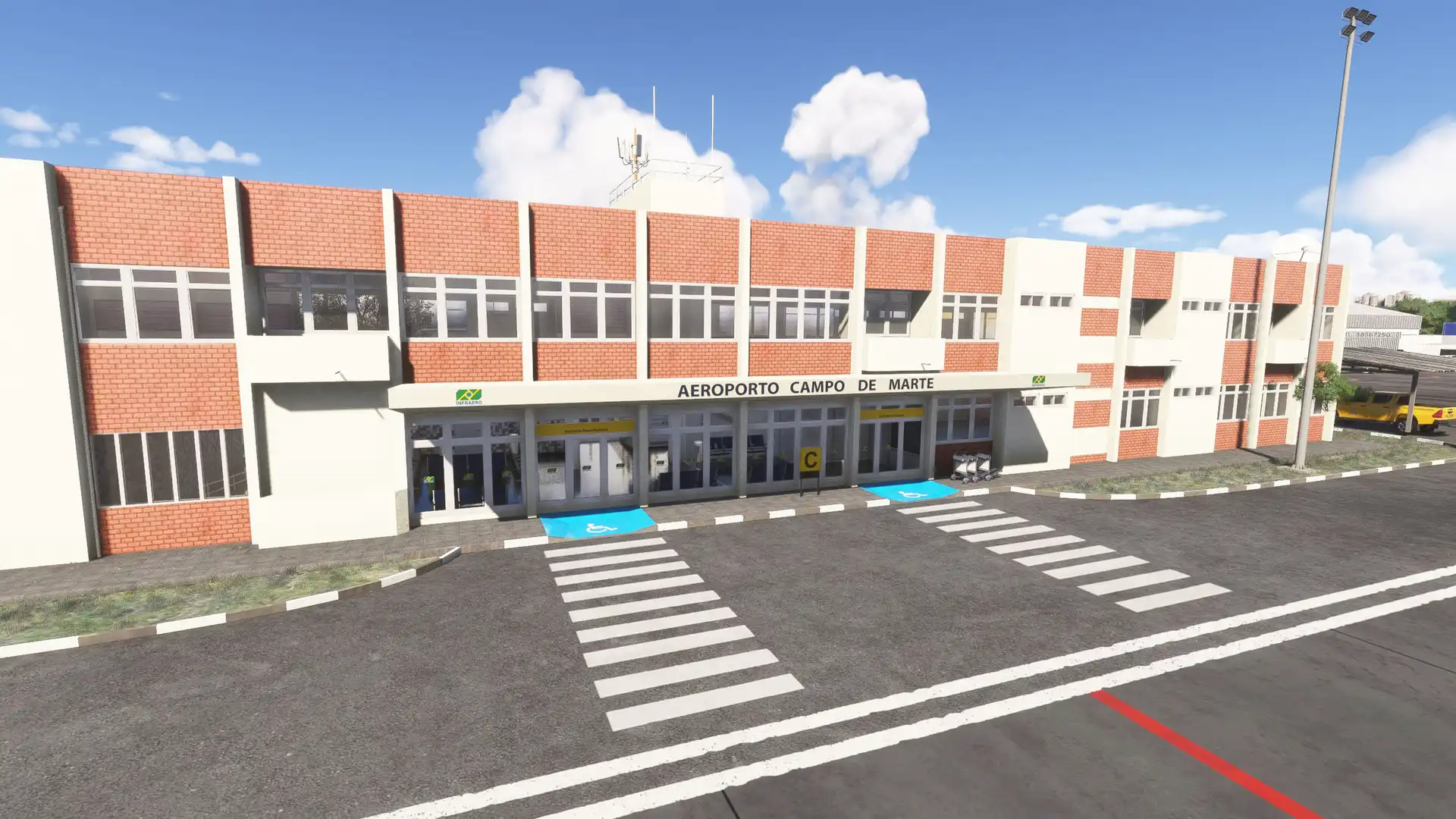
Campo de Marte SBMT arriva su MSFS 2024
Lata Voadora ha rilasciato la sua riproduzione dell’aeroporto Campo de Marte (SBMT) per Microsoft Flight Simulator 2024, il primo aeroporto in assoluto ad aprire a
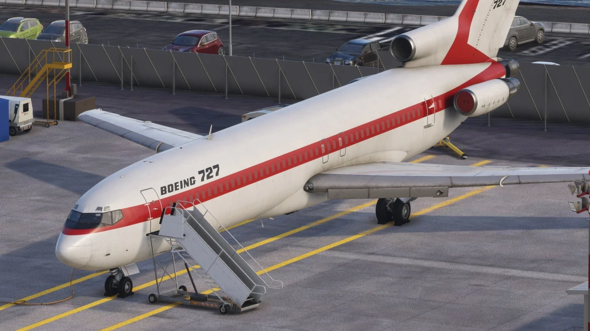
FlightSim Studio: Boeing 727 Passeggeri in Arrivo su MSFS 2020
FlightSim Studio ha recentemente comunicato, tramite il proprio canale Discord, un aggiornamento sull’imminente rilascio della versione passeggeri del Boeing 727 per Microsoft Flight Simulator 2020.

Aggiornamento V2 per Fresno Yosemite International Airport (KFAT) di Fly2High
Fresno Yosemite International Airport (KFAT) di Fly2High, un importante scalo situato a Fresno, California, è stato aggiornato alla versione V2 per Microsoft Flight Simulator 2020
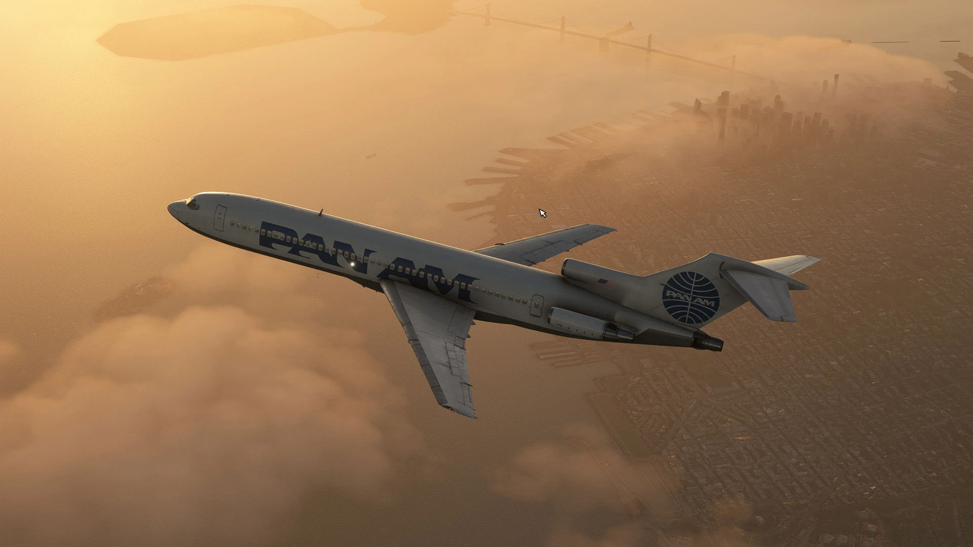
FlightSim Studio rilascia il Boeing 727 passeggeri per MSFS 2020
FlightSim Studio lancia la versione passeggeri del Boeing 727 per Microsoft Flight Simulator 2020. Dopo il rilascio della variante cargo, gli appassionati di simulazione aerea
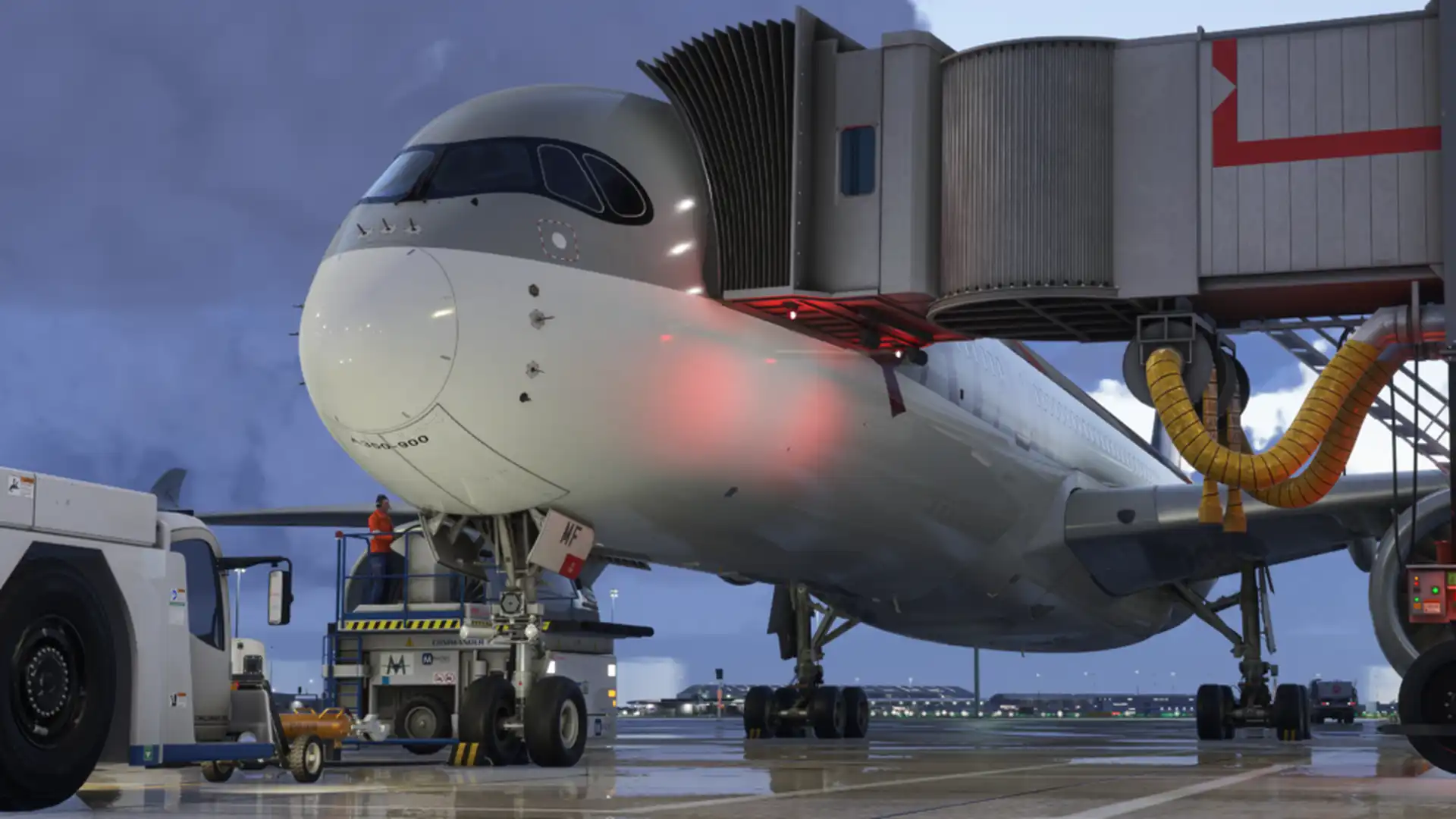
Aggiornamento iniBuilds A350: Miglioramenti ECAM e Step Climb per MSFS
iniBuilds ha rilasciato un nuovo aggiornamento per il suo A350 Airliner, compatibile sia con Microsoft Flight Simulator 2020 che con il futuro 2024. L’aggiornamento introduce
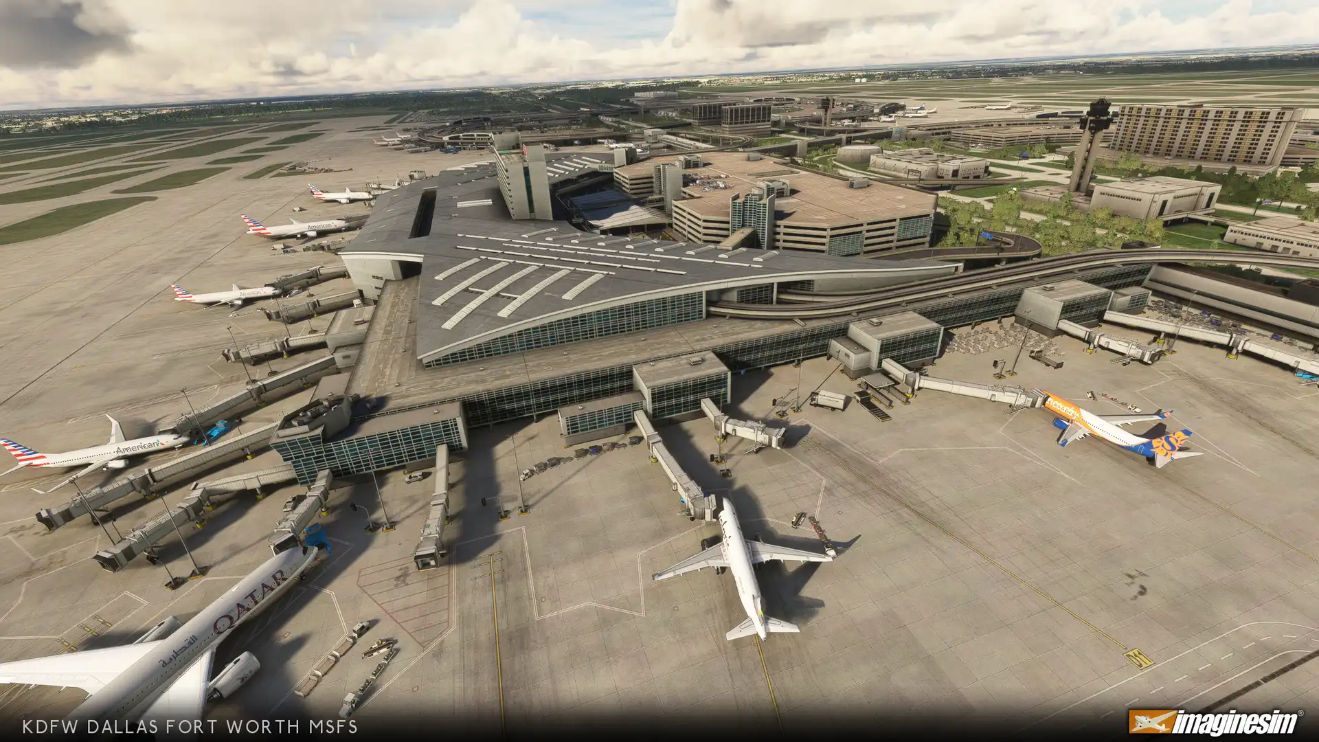
Aggiornamento per Dallas Fort Worth (KDFW) di imaginesim per MSFS 2020
Aggiornamento per KDFW di imaginesim: Miglioramenti e Raffinamenti per Dallas Fort Worth in MSFS 2020 imaginesim ha rilasciato un aggiornamento per il loro recente scenario
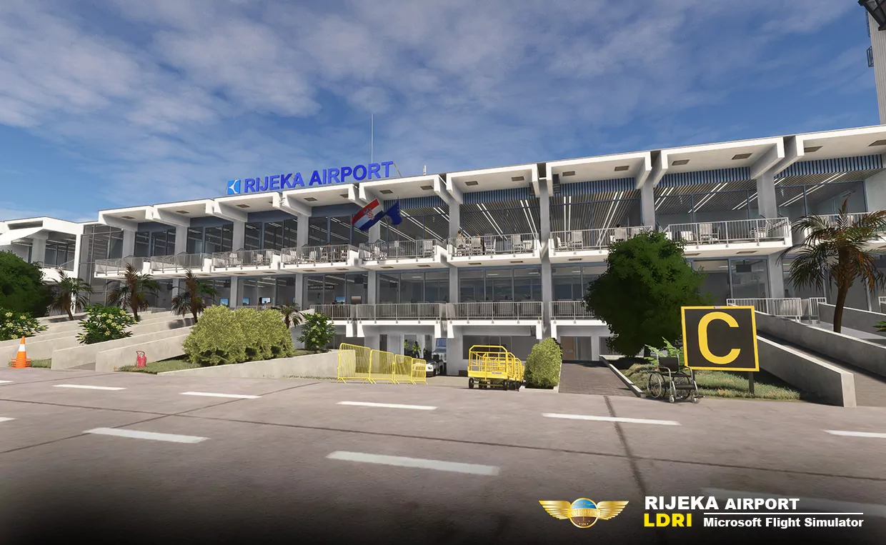
Rijeka (LDRI) di Pilot Experience Sim Vola su MSFS
Pilot Experience Sim introduce l’aeroporto di Rijeka (LDRI) per Microsoft Flight Simulator, sia nella versione 2020 che 2024. L’aeroporto serve la città di Rijeka, in
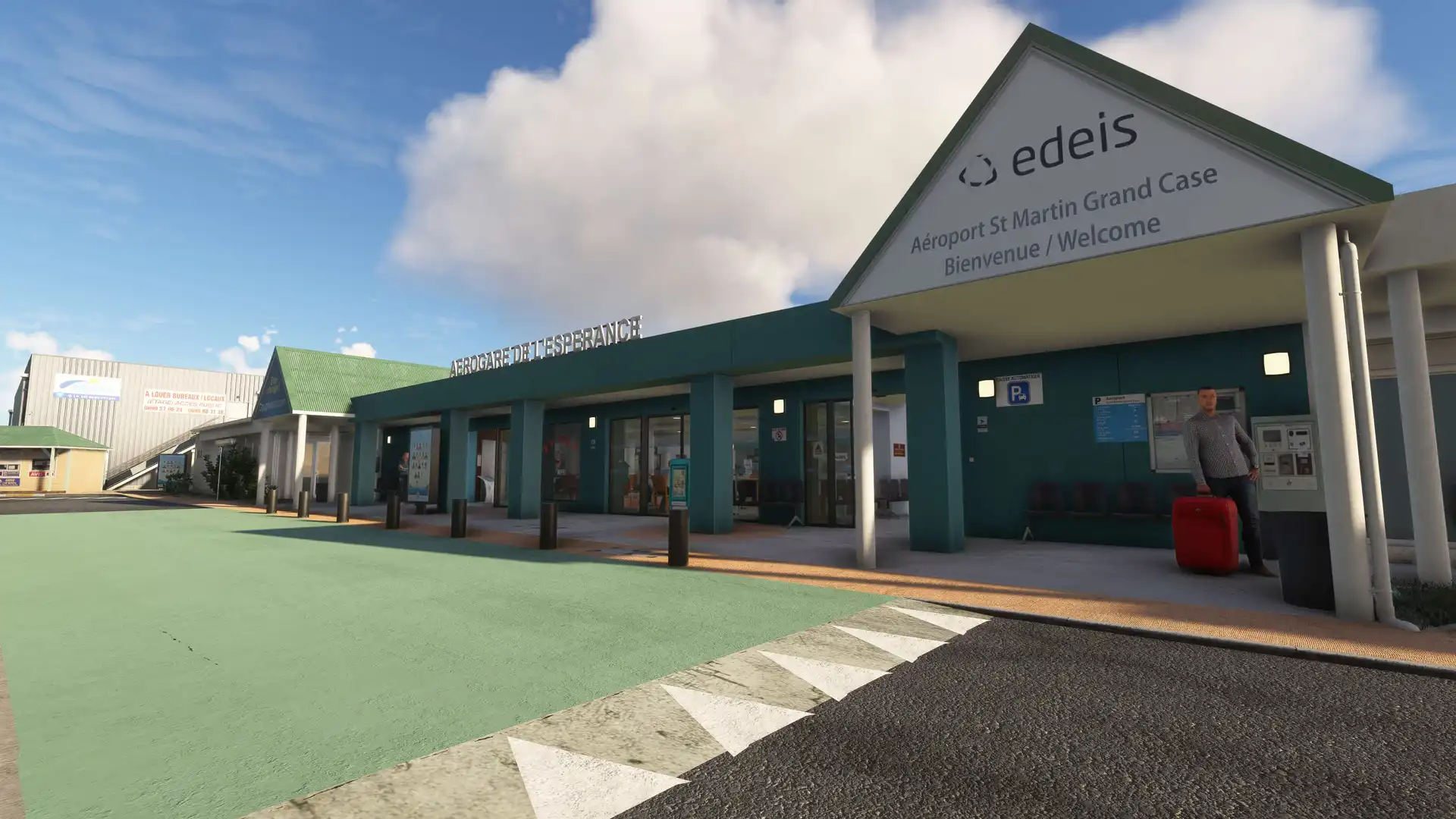
Grand Case-Espérance (TFFG) arriva su MSFS 2020/2024 con SLH Sim Designs
L’aeroporto Grand Case-Espérance (TFFG) di Saint Martin, nei Caraibi, è ora disponibile per Microsoft Flight Simulator 2020 e 2024, grazie a SLH Sim Designs. Questo

ChasePlane arriva su MSFS 2020: realismo dinamico per la tua visuale
Il celebre sistema di camera dinamica ChasePlane di Parallel 42, dopo un periodo di test esclusivo per i membri del Club 42, è ora disponibile
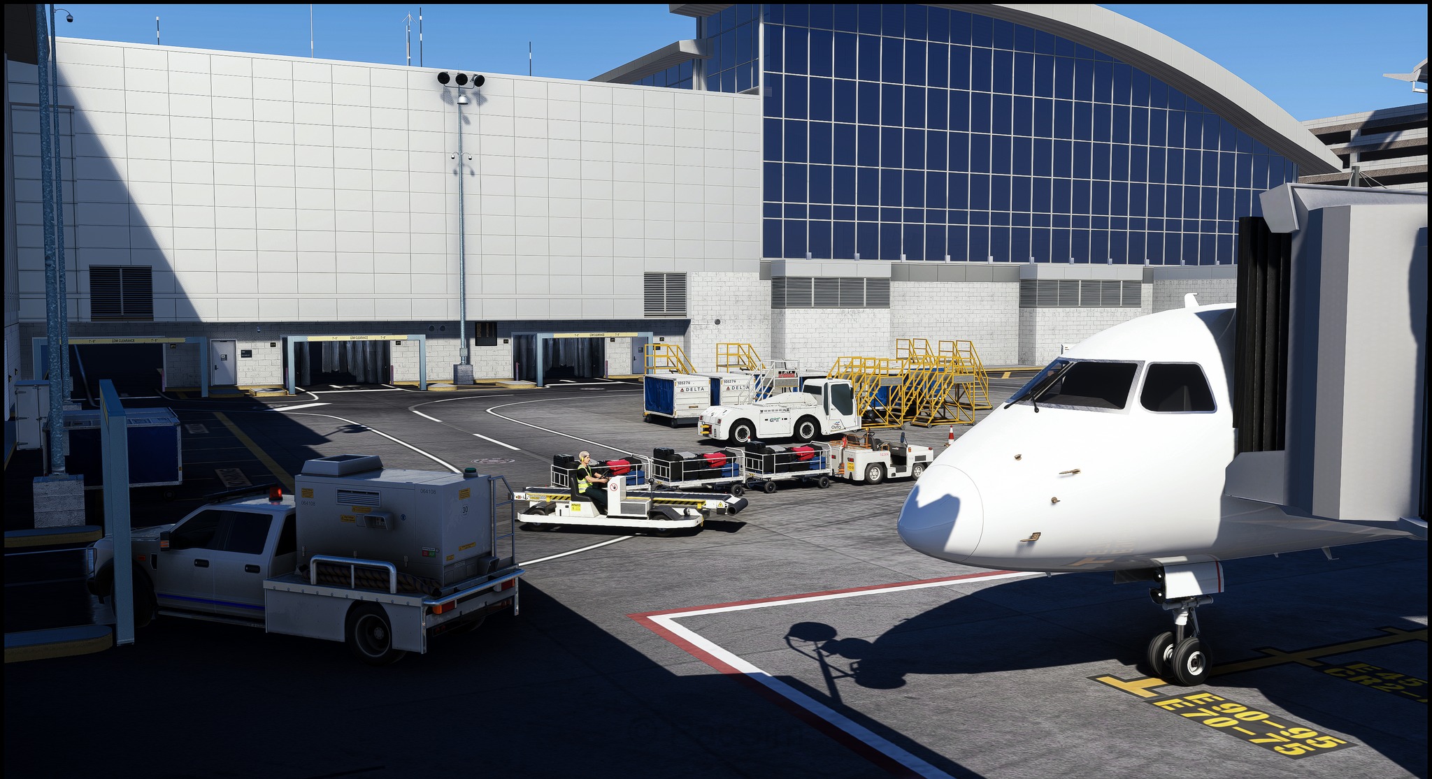
Pacific Islands Simulation: Progressi sull’Aeroporto di Raleigh-Durham per MSFS
Pacific Islands Simulation ha recentemente condiviso sulla sua pagina Facebook i progressi compiuti nello sviluppo della sua prossima scena per l’aeroporto di Raleigh-Durham. L’Aeroporto Internazionale

ChasePlane: Visualizzazioni personalizzate per MSFS 2020 ora disponibili
ChasePlane di Parallel 42 è ora disponibile per Microsoft Flight Simulator 2020. Dopo un periodo di soft launch di alcune settimane, Parallel 42 ha ufficialmente

