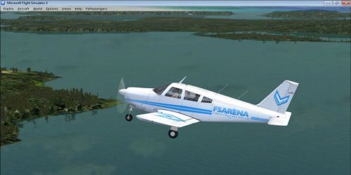

FSX Scenery GMME_Banjul (MAROCCO) (created with ADE & SketchUp 2017)
This scenery was built from the official maps for the runway and taxiways with Google Maps as a background image as support. The different signs were positioned without any documentation or references.
In order to correct any errors, anyone with aerial photos can send them to my email.
This scene was created without pretension, with the tools and data available, with as much precision as possible. AI has not been tested.
Some buildings are generic, others created with Sketchup often with very little reference (photos, height, width, etc.).
So I hope you will be happy to use it, accepting the flaws but knowing the many hours spent on its design.
Thank you for your understanding.
This scenery was built from the official maps for the runway and taxiways with GoogleMaps as a background image as support.
The different signs were positioned without any documentation or references.

