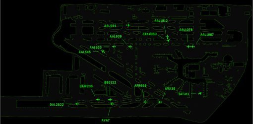

Yet Another Moving Map Client update for Laurent Claudes handy work, here is a set of Low-Altitude Charts to compliment the David Myers Detroit Sectional Maps already presented in previous YAMM Client Project. From the same website were I found David Myers 2009 Sectional Charts, I found Eugene Zaporozhets January 2007 Low Altitude digitized charts. Using the David Myer standard chart formats and the Low Altitude Chart I have flown with, I reformatted; select Instrument Charts to cover my area (using GIMP) because Eugenes collection is a perfect match to the airways, nav aids and airports in the FSX database I am flying. Present day charts have little use in FSX since so many resources are still in FSX that no longer exist in the real world. The map-grouping plan remains the same; I have included in this massive file; Low Altitude Charts L11/L12, L21/L22, and L23/L24 only. I suggest you use these examples to build your own Low Altitude Charts to cover the areas you fly regularly. Besure to read the Comments.Doc file enclosed. By Ronald Prindle


